PAJARO → DAVENPORT · A CORRIDOR TOUR
The corridor.
Mile by mile.
Start at Pajaro’s rail junction. Follow the line through wetlands and town streets, past the Boardwalk, and up the coast to the former Cemex plant. Along the way, bridges and road crossings bring the geography into focus.
- South to north
- Bridges & road crossings
A RIVER · A COUNTY LINE
The first
big crossing.
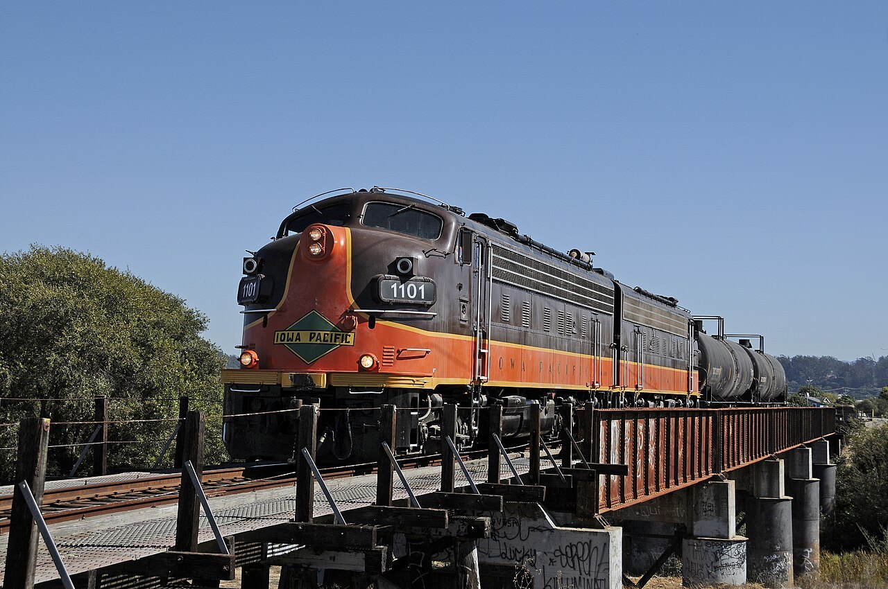
The railroad crosses the Pajaro River into Santa Cruz County. Timber approaches and a steel river span form a bridge complex in a flood-prone landscape—one of the RTC’s four climate-resilience study areas.
- River bridge
- Floodplain
WHEN THE RAILROAD BECOMES A STREET
Rails in
the roadway.
On Walker Street, the track runs in the pavement. Front Street, Riverside Drive, Second Street and West Beach Street all meet the line. Here, a corridor project is also a street, traffic and access project.
- Street-running track
- Multiple road crossings
A KEY CHALLENGE · THE WETLANDS
More than
a trestle.
Watsonville Slough and Harkins Slough spread out around the railway. The Harkins trestle and its approaches lie in the 100-year floodplain. The challenge extends well beyond the bridge itself: water, habitat and access all matter.
- Wetland bridges
- Flood exposure
ROAD BELOW · COAST BESIDE
Between the road
and the bluff.
The railway passes over San Andreas Road, then crosses Leonard Gulch near La Selva Beach. Along the Manresa bluffs, coastal erosion adds another constraint to the bridges and road access.
- Road undercrossing
- Leonard Gulch bridge
- Coastal erosion
ROADS · BEACH ACCESS · RAIL
Everyday routes
cross the line.
At Seascape, neighborhood streets and beach access meet the railway at ground level. Seascape Boulevard and Clubhouse Drive have gates and flashing lights. Nearby, Bush Gulch and Dry Creek add two more trestle crossings.
- Gated road crossings
- Gulch trestles
MANY CROSSINGS · VERY LITTLE DISTANCE
A village
of crossings.
In Aptos, the line crosses creeks, local roads and Highway 1 in quick succession. Trout Gulch Road, Parade Street and Aptos Creek Road cross at track level. Other roads and waterways pass beneath bridges.
- Road crossings
- Creek bridges
- Two Highway 1 bridges
A KEY CHALLENGE · THE COASTAL EDGE
The coast
sets the limits.
The line passes above New Brighton Beach Road and continues toward Capitola along coastal bluffs. This is another climate-study focus area. The bluff alignment and the Capitola Trestle are separate challenges, close together.
- Road undercrossing
- Coastal bluffs
A KEY CHALLENGE · OVER THE VILLAGE
An icon.
A complex crossing.
The Capitola Trestle crosses streets, Soquel Creek and the village below. Timber, steel and concrete form a series of connected structures. Fitting future rail and trail crossings here means dealing with the entire bridge complex.
- Soquel Creek
- Streets beneath
- Multiple bridge structures
GULCHES · LOCAL STREETS · A HARBOR
Waterways
through the city.
After Capitola, the corridor crosses Rodeo Gulch and continues through Live Oak toward Santa Cruz Harbor. At Woods Lagoon, a bridge carries the line across the harbor. Neighborhood streets add crossings of their own.
- Rodeo Gulch bridge
- Woods Lagoon bridge
- Local road crossings
THE RIVER MEETS THE BEACH
One river.
Many journeys.
The steel railroad bridge crosses the San Lorenzo River beside a public pedestrian path. Beachgoers, walkers and cyclists already know this crossing. Any future work must address both the river structure and the connections at its ends.
- River bridge
- Public pedestrian connection
A KEY CHALLENGE · PEOPLE EVERYWHERE
The corridor
meets the crowd.
At the Boardwalk, the railway becomes part of the visitor experience. Pedestrian crossings connect the beach, attractions and streets. The engineering question is also a people question: how do all these movements work together?
- Pedestrian crossings
- Visitor access
- Street-running rail
TRAINS · CARS · PEOPLE
A street with
more than one job.
The rails continue along Beach Street toward Pacific Avenue. Street intersections, pedestrian movement and access to nearby properties share a compact space. Designing this section means designing the street around the railway, too.
- Track in pavement
- Road & pedestrian crossings
A TRAIL ALREADY IN DAILY USE
A neighborhood
connection.
On the Westside, an existing rail-side trail connects Bay Street with Natural Bridges Drive. Almar, Fair, Swift and other streets intersect the corridor. A continuous line on a map becomes a series of real intersections on the ground.
- Existing trail
- Closely spaced road crossings
THE CITY GIVES WAY TO THE COAST
Open land.
Hidden structures.
At Wilder Ranch, fields and coastal trails replace city blocks. The railway still crosses waterways: Wilder Creek and Meder Creek lie just south of the ranch’s main access area. The North Coast trail project continues toward Davenport.
- Creek bridges
- Farm access
- North Coast trail
THE CROSSINGS YOU MAY NOT SEE
Beneath
the embankment.
Across the North Coast, the railway passes farm access roads and a succession of creek gullies. Many waterways run through stone arch culverts beneath fills. They are less visible than trestles, but drainage and coastal exposure still shape the corridor.
- Stone arch culverts
- Farm road crossings
- Coastal exposure
A TOWN · A CREEK · A HIGHWAY
The line reaches
Davenport.
Near Davenport, the corridor meets San Vicente Creek and Highway 1. Here, the railroad and highway embankments are part of a larger coastal-resilience question: how should water, habitat and transportation fit together?
- San Vicente Creek
- Highway 1 access
- Coastal resilience
THE NORTHERN END · AN INDUSTRIAL LEGACY
Where the
freight once led.
The former cement plant explains why the railway continued this far up the coast. Built in 1906, it became the line’s defining freight destination. The corridor ends at Davenport, but the questions about its future continue.
- Former cement plant
- Northern terminus